A post about everything related to radar data resolution. Versión en español aquí
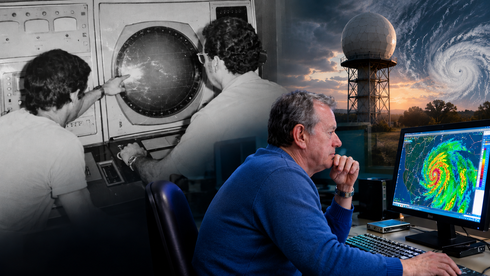
Meteorologists like to look at radar images to observe the morphology, evolution, and movement of echoes on the screen, without worrying much about how each pixel relates to what is happening in its surroundings, or about knowing exactly what each one represents in the atmosphere being explored. This is not a trivial matter, and I do not think it has a single answer. The fact that during my career the technique has gone from old monochrome PPI/RHI indicators to full-color computer screens does not change the essence of the question: What does each pixel represent in the atmosphere being explored? Follow me in this post to inoculate you with the virus of doubt and start looking at the images on the screen while thinking about the radar beam scanning the atmosphere.
(más…)